Seal of Dane County County of Dane
Translate
Dane County Land & Water Resources Department

DCiMap Online Mapping Application

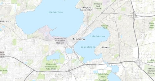
DCiMap is an interactive online mapping application that can be used to create online and printable maps. Users can zoom in and out, add a variety of data layers (see examples below), and print and export maps. The tutorial videos show how you can use the web map to create a map(s) to submit with your Erosion Control or Stormwater Management permit application.

  • February 26, 2024 the Land & Water Viewer online mapping application was combined with the Planning Viewer into DCiMap, a single mapping application.


Land & Water Viewer interactive online mapping application

Viewable layers include:

  • Orthophotos/aerial imagery - recent and historical
  • Parks and recreation related
  • Thermally sensitive areas, cold water communities
  • Soils, elevation
  • Lakes, streams, wetlands
  • Parcels, and more...